
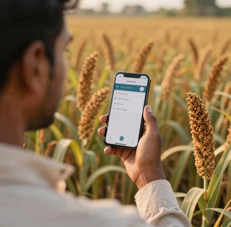
Software built for regional soil
We engineer lightweight, offline-resilient digital tools designed specifically for diverse Indian farming conditions, translating complex ecological data into direct field action.
Custom agritech solutions
Practical digital tools built to operate reliably in low-bandwidth environments, bridging the gap between satellite telemetry and ground-level farming operations.
Resilient Field Apps
Soil-to-Satellite Sync
Resource Tracking
Lightweight mobile dashboards that sync seamlessly once connectivity returns, ensuring uninterrupted data logging in remote regional areas.
Direct integration of localized soil sensors with overhead satellite imagery, translating raw telemetry into simple, actionable irrigation metrics.
Intuitive dashboards mapping water usage, soil moisture levels, and carbon metrics to verify ecological impact for conservation managers.
Verified ground truth
40k+
hectares monitored
30%
water saved
100%
offline uptime
Build for the ground up
Partner with our Bengaluru-based engineering studio to deploy custom agritech or conservation software designed specifically for your operational realities.